The latest 15 views posted on the site :

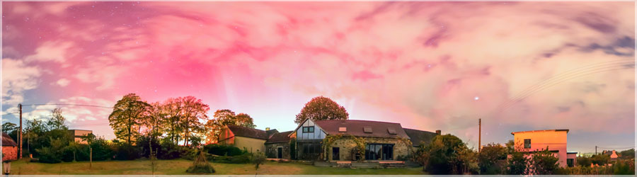
Aurora Borealis
Panorama made of 13 photos taken on the 10 October 2024.
Click on the image to view the 360º panorama ! 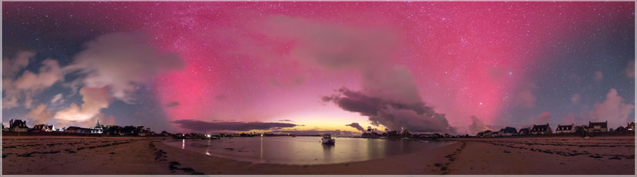
Aurora Borealis
Panorama made of 13 photos taken on the 10 October 2024.
Click on the image to view the 360º panorama ! 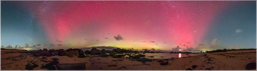
Aurora Borealis
Panorama made of 13 photos taken on the 10 October 2024.
Click on the image to view the 360º panorama ! 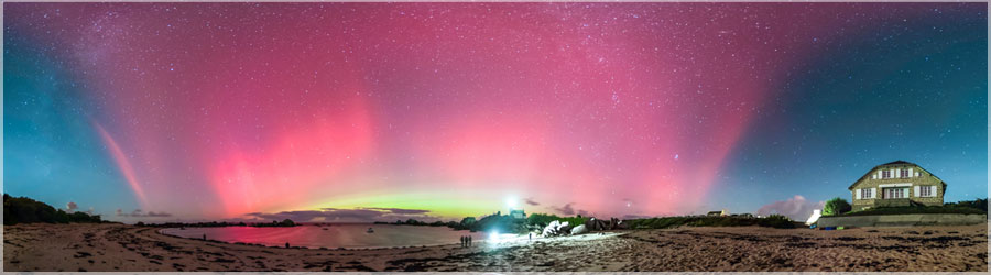
Aurora Borealis
Panorama made of 13 photos taken on the 10 October 2024.
Click on the image to view the 360º panorama ! 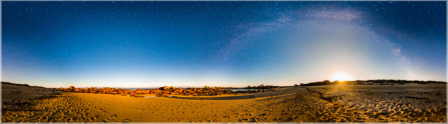
Moon
Panorama made of 13 photos taken on the 05 August 2020.
Click on the image to view the 360º panorama ! 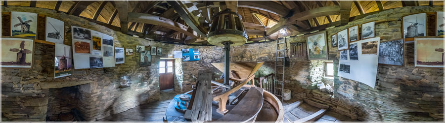
Mill Kercousquet
Panorama made of 12 photos taken on the 24 July 2020.
Click on the image to view the 360º panorama ! 
Comete Neowise 2020
Panorama made of 12 photos taken on the 23 July 2020.
Click on the image to view the 360º panorama ! 
Comete Neowise 2020
Panorama made of 12 photos taken on the 23 July 2020.
Click on the image to view the 360º panorama ! 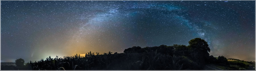
Comete Neowise 2020
Panorama made of 12 photos taken on the 18 July 2020.
Click on the image to view the 360º panorama ! 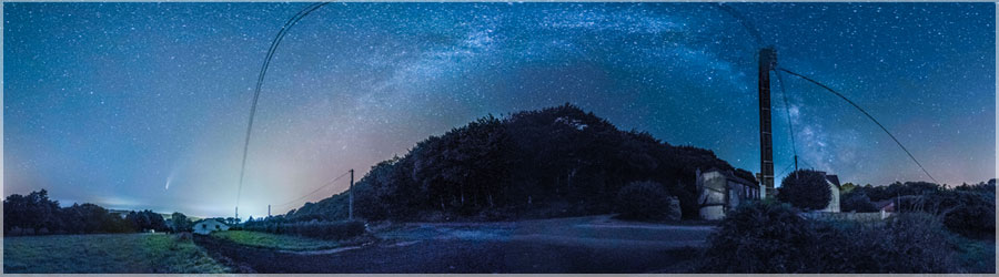
Comete Neowise 2020
Panorama made of 12 photos taken on the 18 July 2020.
Click on the image to view the 360º panorama ! 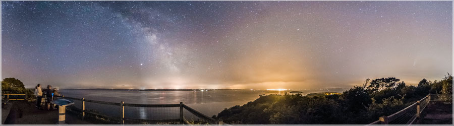
Comete Neowise 2020
Panorama made of 12 photos taken on the 18 July 2020.
Click on the image to view the 360º panorama ! 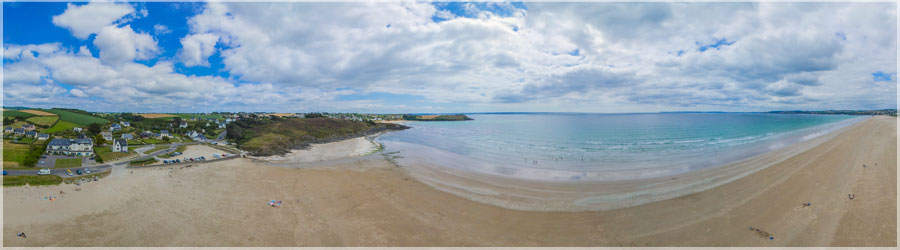
Beach Pentrez
Panorama made of 8 photos taken on the 17 July 2020.
Click on the image to view the 360º panorama ! 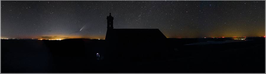
Comete Neowise 2020
Panorama made of 12 photos taken on the 12 July 2020.
Click on the image to view the 360º panorama ! 
Renovation Vieille longere
Panorama made of 13 photos taken on the 01 July 2020.
Click on the image to view the 360º panorama ! 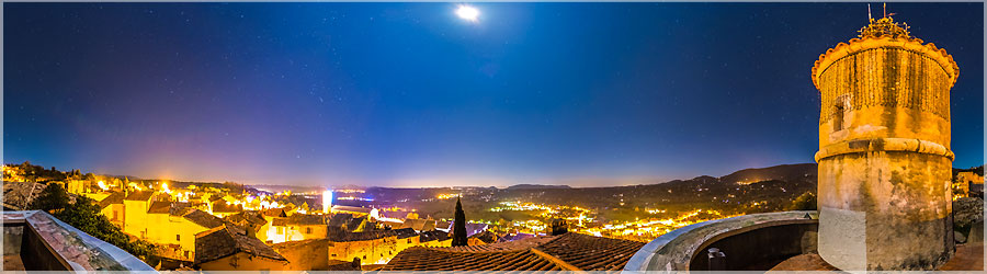
The Old Fire Tower
Panorama made of 13 photos taken on the 21 December 2015.
Click on the image to view the 360º panorama !